Maps
Our books and maps are not intended to be a complete collection of information, however, it contains a number of books that are either self-published or out of print.
A little about Ed Winn since the majority of the books in this section were written by him, Mr. Winn is a friend, lifelong Florida resident who grew up on the river has studied it and written about it for more than 50 years
Documents
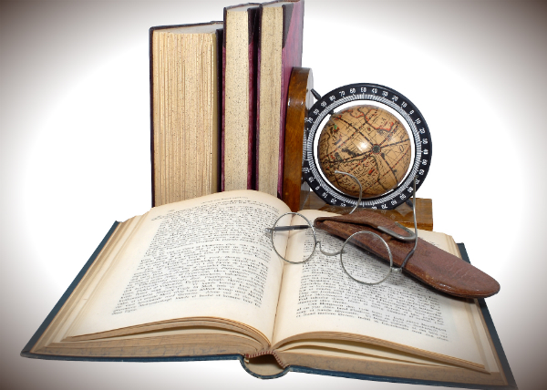
Our books and maps are not intended to be a complete collection of information, however, it contains a number of books that are either self-published or out of print.
Books
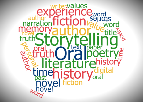
This area is dedicated to the stories and lives of the people who have lived here in Central Florida and contributed to life of the area.
Oral History
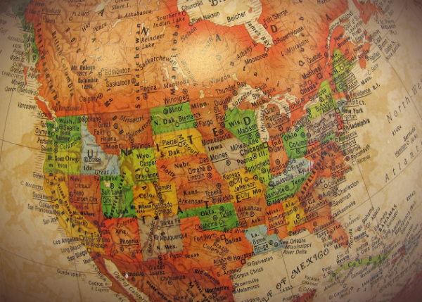
Maps that show the Florida of the past and the relevant river paths.